GR Routes
GR trails are long-distance hiking routes. You can follow them via the well-known white-red markings, a GPX track or a topoguide. They do not offer the fastest route from A to B, but they are the most appealing!
GR trails guide you past extraordinary landscapes and villages. You walk as much as possible on unpaved roads. On a GR hike, you will discover regions and corners you would otherwise not reach.

Types of GR-paths
There are two types of paths: GR and Regional GR trails.
GR trails traverse several regions. They are numbered and marked with white and red stripes. While some remain within Flanders, others cross over into Wallonia or a neighbouring country.
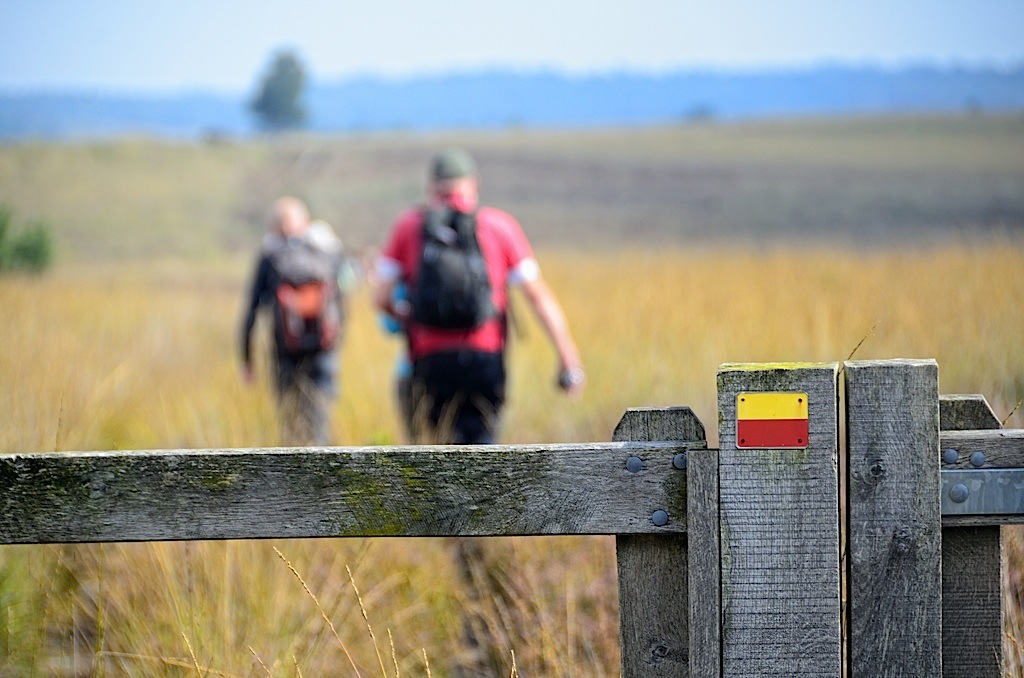
Regional GRs, on the other hand, explore one region only. Instead of a number, they have a name and are marked with yellow and red stripes.
A 'Treinstapper' is a day hike from station to station on GR trails. The length of Treinstappers ranges from 18 to 27 km. Most routes can be shortened by catching a bus or train halfway.

Topoguides and GPX-tracks
We publish a topoguide (in Dutch) of almost every GR trail. This is a handy hiking book that describes the trail in both directions. A topoguide contains information about accessibility by public transport and accommodation. You will also find landscape and historical information about the area through which the route passes.
If you like hiking with GPS you can download the GPX track of all GR routes for free on this site (click on the route, and then the download sign on the top right). Go to GR network and select the desired trail. You will always find the most recent track of the trail.

